Pedestrian Infrastructure
Across the City
A reference archive documenting Singapore's network of covered walkways, overhead bridges, and underground passages — the connective tissue of daily urban movement.
Pedestrian Networks in Focus
Detailed reference pieces on how Singapore's covered and grade-separated walkway systems are built, maintained, and used.
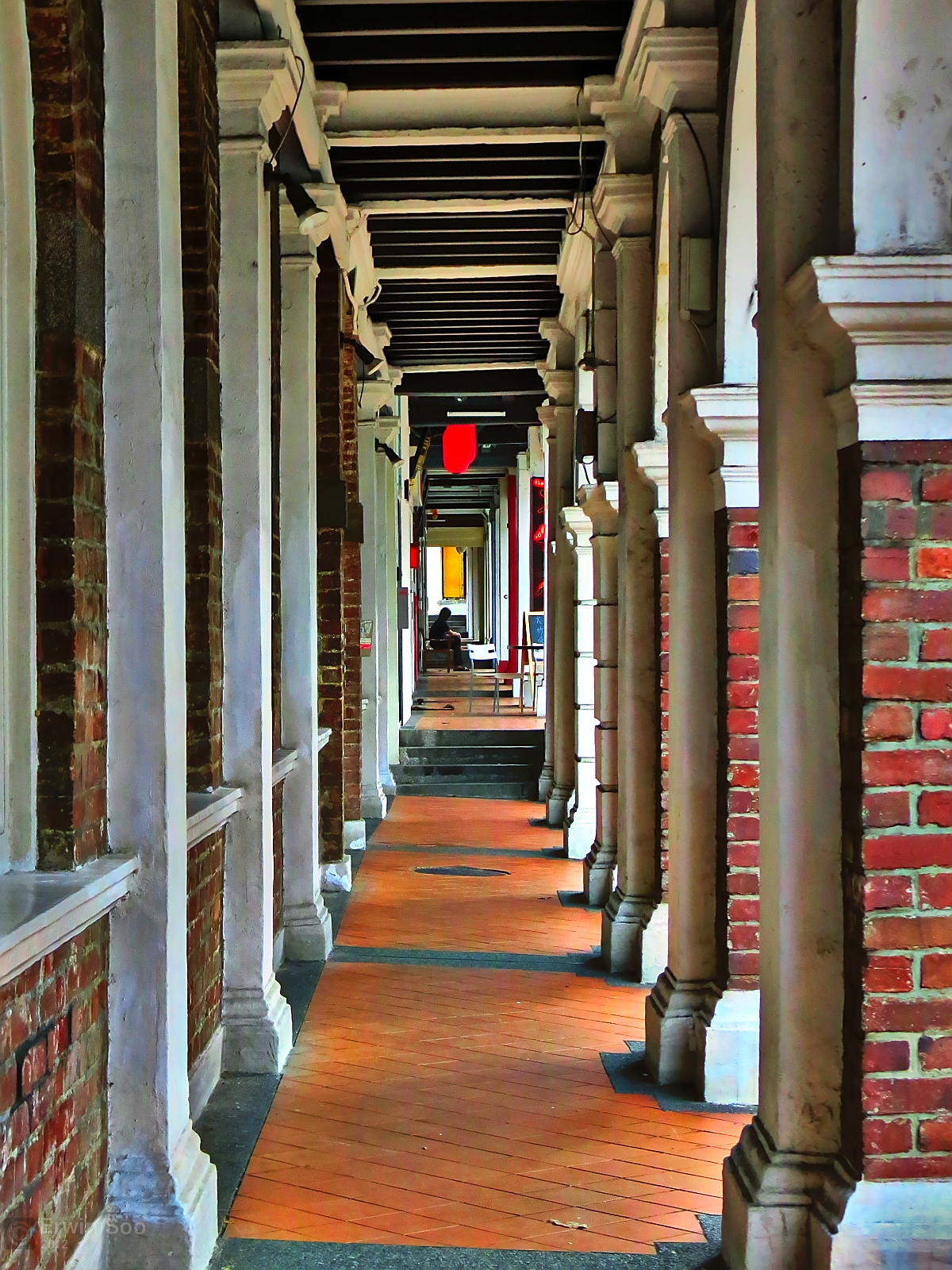
Singapore's Covered Walkway Network: How the Island Stays Dry
From five-foot ways in the historic districts to modern canopied corridors linking MRT exits to housing blocks — a close look at how sheltered pedestrian routes function across the island.
Read article
Overhead Pedestrian Bridges: Design Standards and Urban Placement
Singapore operates over 1,400 overhead pedestrian bridges. This piece examines their structural design criteria, placement logic near bus stops and schools, and recent upgrades for accessibility.
Read article
Underground Connections in Singapore's CBD: The Subterranean Pedestrian Grid
Beneath Raffles Place, City Hall, and Marina Bay lies a growing network of underground corridors allowing uninterrupted movement between offices, retail centres, and transit nodes.
Read articleWhat This Resource Covers
Covered Walkway Corridors
Singapore's sheltered path network extends from Housing Development Board estates to commercial districts. Coverage includes route mapping, linkage to public transit, and historical development from the colonial five-foot way tradition.
Grade-Separated Crossings
Overhead bridges and underpasses eliminate pedestrian-vehicle conflict at busy junctions. This archive documents standards set by the Land Transport Authority for placement, handrail specifications, and ramp gradients for mobility-aid users.
Underground Pedestrian Systems
The City Hall Interchange and Raffles Place underground concourses form the backbone of sub-surface pedestrian movement. Articles examine the planning frameworks behind expanding these networks toward the Marina Bay financial district.
Accessibility and Weather Resilience
With average annual rainfall exceeding 2,160mm, Singapore's covered pedestrian network is as much a climate-response measure as a mobility one. Coverage includes barrier-free access requirements under the Code on Accessibility.
Contact the Archive
For corrections, editorial inquiries, or feedback on any article, use the form below.