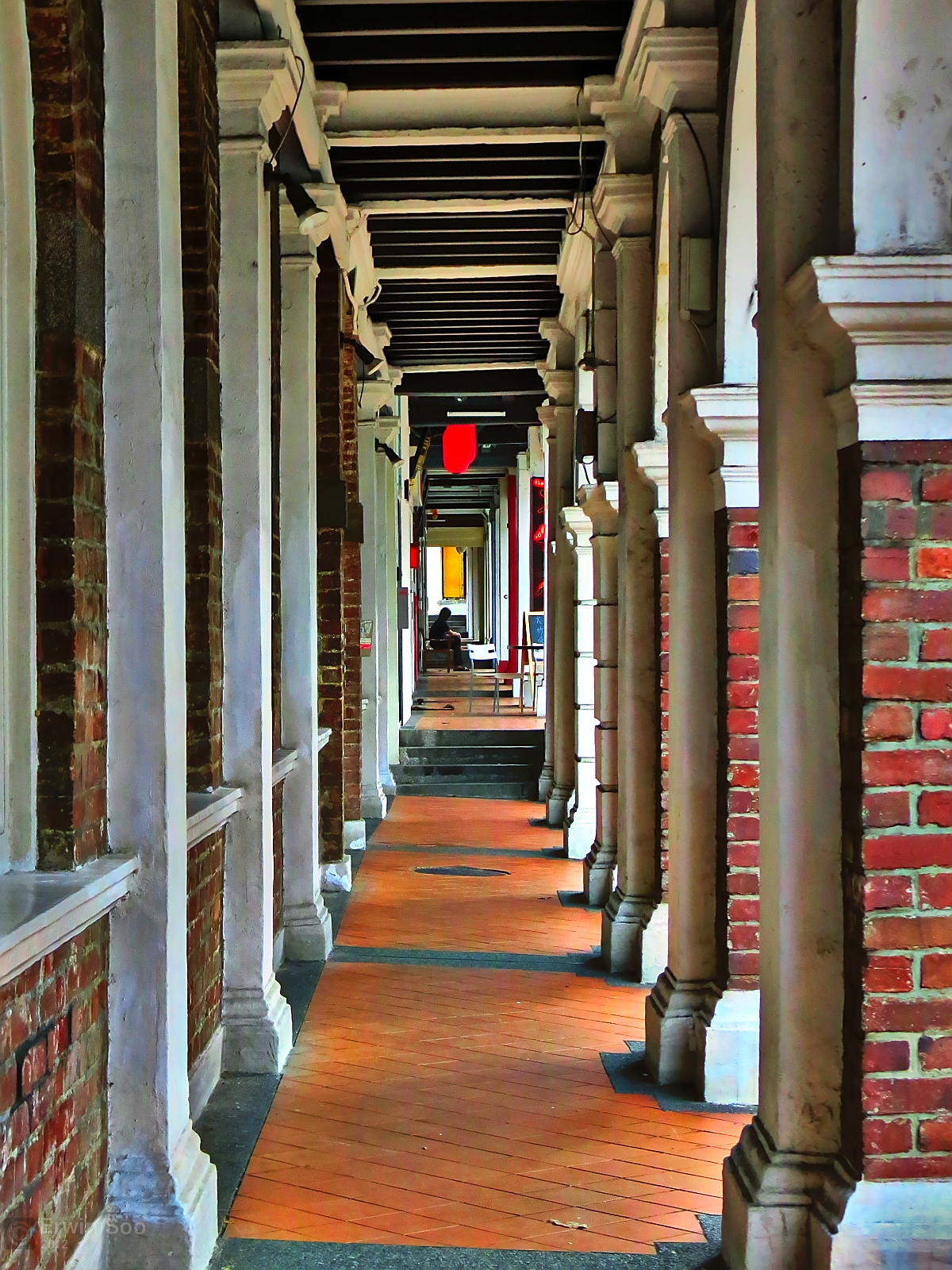
Origins: The Five-Foot Way
Singapore's relationship with sheltered walkways stretches back to the 1820s. Under Sir Stamford Raffles' town plan of 1822, shophouse owners were required to maintain a continuous five-foot-wide covered passage along the front of their buildings. The regulation was practical — merchants needed dry access to their premises, and the equatorial sun was as much an obstacle as rain. These "five-foot ways" became a defining feature of the Chinatown, Kampong Glam, and Little India conservation districts that survive today.
The five-foot way model — a cantilevered or arcaded overhang projecting from a building façade — influenced how Singapore continued thinking about pedestrian shelter long after the shophouse era. When the Housing Development Board (HDB) began building large-scale public housing in the 1960s, the principle of sheltered linkways between blocks and amenities was embedded into estate planning from the start.
HDB Estates: The Backbone of the Network
Today roughly 78 percent of Singapore's resident population lives in HDB flats, making the estate-level covered walkway network the most used pedestrian infrastructure in the country. The standard HDB linkway runs between residential blocks, connecting void decks — the open ground-floor spaces beneath each block — to nearby amenities such as food courts, markets, childcare centres, and bus stops.
These linkways are typically 1.8 to 2.4 metres wide, constructed in reinforced concrete with a pitched aluminium or polycarbonate roof. In older estates built before the 1990s, gaps in coverage were common; residents often resorted to umbrellas to bridge the last hundred metres to a bus stop or MRT exit. The Neighbourhood Renewal Programme (NRP), introduced in 2007, has since allocated funding to close these gaps in estates that vote to participate.
Connectivity to MRT Stations
LTA's guidelines require sheltered walkways for all pedestrian routes to MRT exits within 400 metres of an HDB precinct. In practice, many major stations — including Bishan, Tampines, and Woodlands — are now accessible under shelter for a 600- to 800-metre radius. This matters practically: the most-used MRT interchange stations in Singapore handle upwards of 150,000 passenger trips per day, and a significant portion of that footfall arrives on foot, not by feeder bus.
A standard specification document from the LTA requires covered links to maintain a minimum internal height of 2.4 metres, have non-slip flooring surfaces, and be lit to at least 50 lux at ground level. Where slopes exceed 1:20, tactile guidance strips for visually impaired pedestrians are mandatory under the Code on Accessibility in the Built Environment.
Commercial Districts and Mixed-Use Nodes
In Singapore's commercial centres — Orchard Road, the Central Business District, and regional hubs like Jurong East — covered walkways take a different physical form. Here, the sheltered network runs through air-conditioned retail arcades, underground concourses, and elevated walkways connecting office towers. The result is a layered system where weather protection and commercial activity reinforce each other.
Orchard Road provides a useful case study. The Orchard Road Business Association, in coordination with URA, has maintained requirements for new developments to include ground-level covered colonnades or second-storey sheltered links. Shopping centres such as ION Orchard, Paragon, and Orchard Central are connected at the basement level through a series of underground passages accessible from the Orchard MRT station concourse.
Canopy Standards Along Major Roads
Along arterial roads managed by the Land Transport Authority and Urban Redevelopment Authority, canopy requirements for bus stops specify a minimum coverage area of 12 square metres at each stop. When bus stop usage exceeds a set passenger threshold, extended shelters are retrofitted. NParks additionally maintains covered walkways along several park connector segments where routes pass under major expressways.
Maintenance and Ownership Structure
Responsibility for covered walkways in Singapore is divided across multiple agencies. HDB owns and maintains linkways within its estates. LTA is responsible for sheltered footpaths along classified roads. Building owners within commercial developments are responsible for any covered link that falls within their strata title boundary. Town Councils manage covered walkways within HDB precincts that connect estate facilities.
This fragmented ownership has historically created what planners call "gap problems" — sections of 30 to 100 metres where coverage drops out because two agencies share a boundary. A joint inter-agency framework introduced in 2019 now requires any sheltered walkway identified in a precinct plan to have a named responsible authority before construction begins, reducing the frequency of these gaps in newly developed areas.
Gaps That Remain
Despite extensive coverage, not all pedestrian routes in Singapore are fully sheltered. Older industrial estates, low-density landed housing areas, and stretches of footpath in transitional zones between planning regions often lack continuous cover. Research by the Centre for Liveable Cities has documented that approximately 15 percent of the island's committed pedestrian routes remain partially unsheltered, with coverage expected to improve as NRP cycles progress and new development parcels are approved under updated planning conditions.